Ideas Engineered
into Intelligent Systems
Selected initiatives from Mojgan Jadidi's work at the intersection of geospatial intelligence, artificial intelligence, digital twins, BIM/GIS, immersive environments and the built environment.
These projects demonstrate a trajectory from understanding physical environments through spatial data to developing increasingly intelligent ways of interacting with engineering information.
IMMERSIVE ENGINEERING / RESEARCH DEMONSTRATIONMapEcho.
Geospatial Multi-Agent Copilot
& Digital Twin System
Mojgan Jadidi is the Founder of MapEcho.
Explore MapEcho (opens in a new tab)XR Sandbox &
Digital Twin Lab Spaces
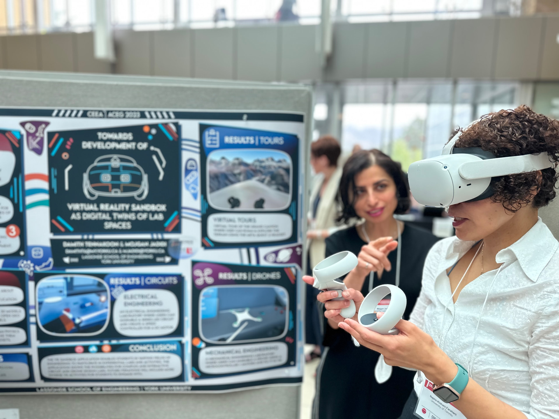
This body of work explores how immersive and spatial technologies can connect physical engineering environments with interactive digital representations for visualization and learning.
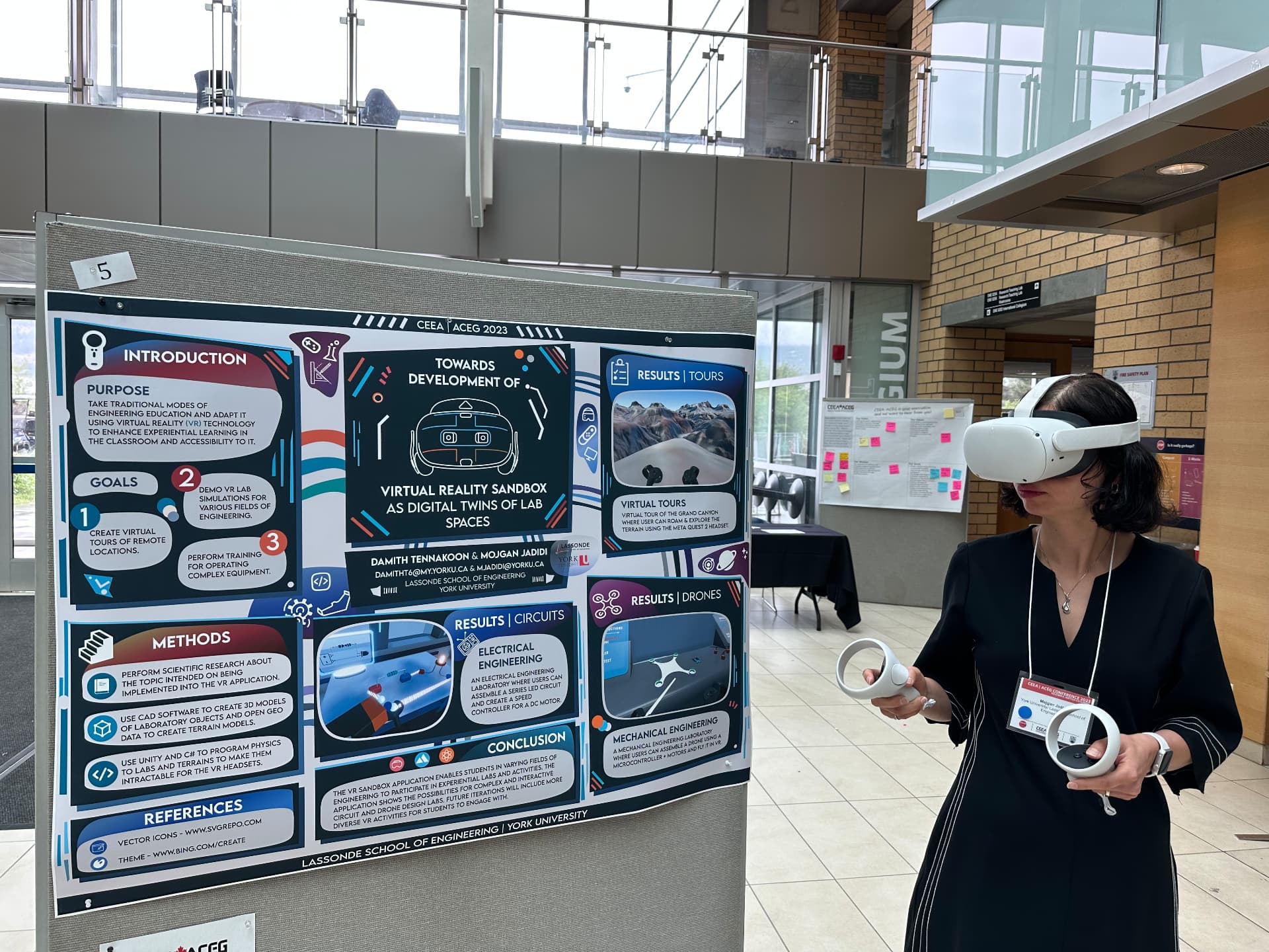
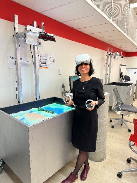
A New Realm of Experiential Education Using an Augmented Reality Sandbox
- Role
- Principal Investigator
- Funding
- $99,150
AI-Enabled
Digital Twins
Research connecting digital representations, geospatial information and AI in the built environment.
AI-Enabled Digital Twins for Automation of Regulatory Systems in the Built Environment
- Role
- Co-Investigator
- Funding
- $1,319,000
BIM + 3D GIS
Connecting Buildings
with Geographic Context
BIM provides rich information about buildings and infrastructure. 3D GIS provides geographic and spatial context. Their integration creates new possibilities for understanding built environments within the wider world around them—and informs later work in digital twins.
Knowledge Discovery in 3D Geospatial Spaces: Towards an Integrated BIM, 3D GIS and IoT Framework
- Role
- Principal Investigator
- Funding
- $140,000
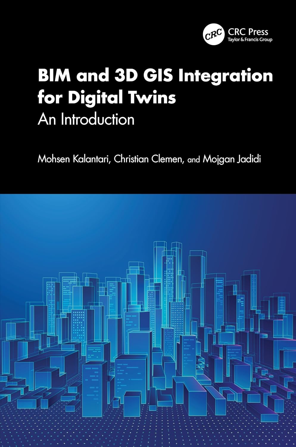
BIM and 3D GIS Integration for Digital Twins: An Introduction
CRC Press / Taylor & Francis
Explore PublicationsData-Informed
Construction Intelligence
This research direction connects construction-material supply chains, BIM, GIS and data-informed decision support. Mojgan's broader research interests include construction and demolition waste and circular-economy approaches.
A Data-Informed Decision Support System for Sustainable Construction Material Supply Chain Management Using BIM and GIS
- Role
- Principal Investigator
- Funding
- $460,000
GeoVA.
Geospatial Visual Analytics
Explore the GeoVA project showcase.
Watch Project Showcase (opens in a new tab)Different Projects.
One Evolving System of Ideas.
Thematic relationships across distinct initiatives, not a single product or platform.
Research That Moves
Across Boundaries
Across these initiatives, Mojgan's work connects engineering research with emerging technologies, physical infrastructure, digital environments and new ways of interacting with spatial information.
Domains in Dialogue
Technology themes directly connected to each featured initiative.
MapEcho
XR Sandbox
AI-Enabled Digital Twins
BIM + 3D GIS
Sustainable Construction
GeoVA
Explore the Research
& Innovation Ecosystem
Sharing Ideas Beyond
the Research Environment
Explore selected talks, panels, podcasts and public conversations spanning AI, digital twins, engineering, infrastructure and emerging technology.